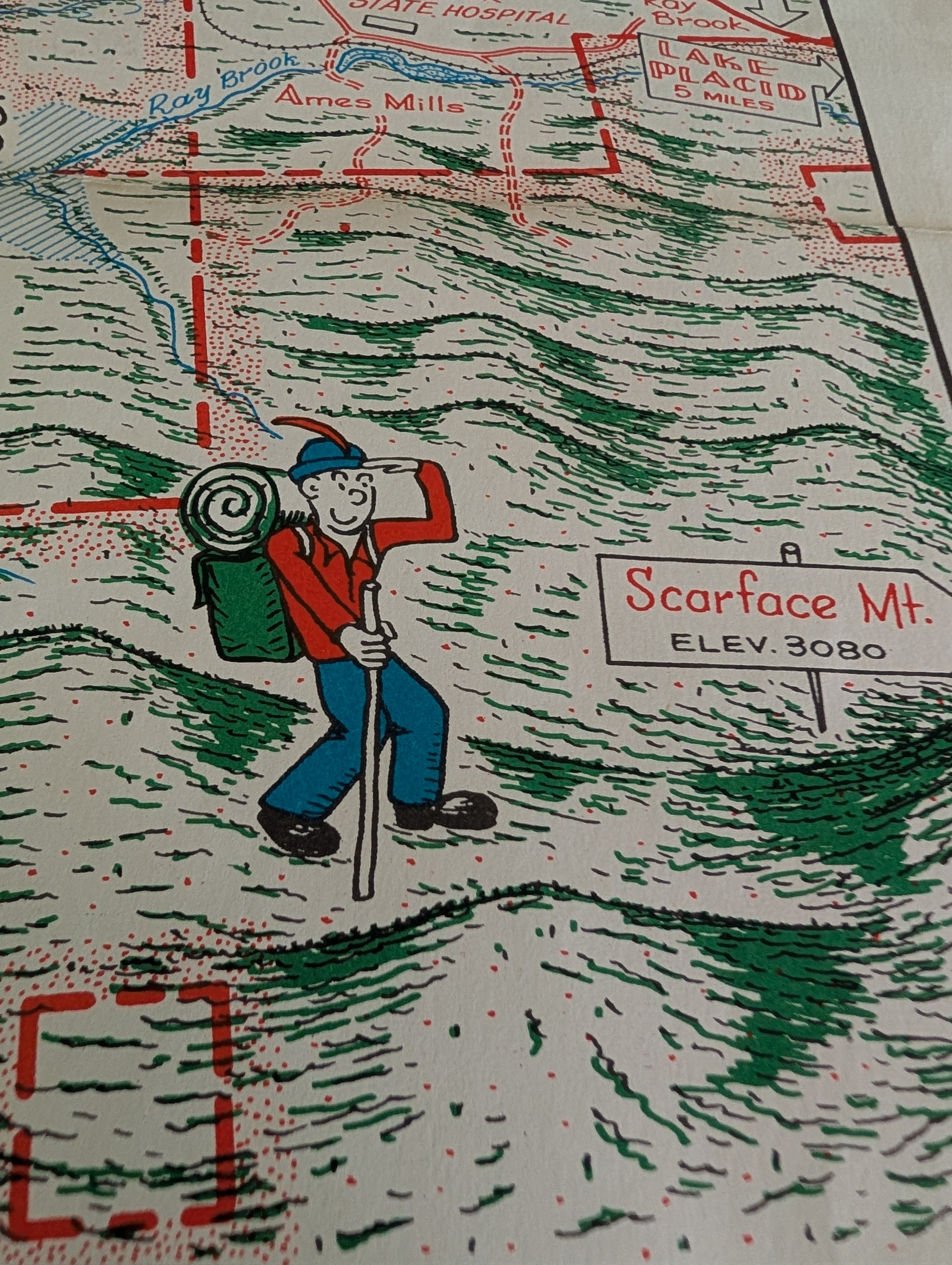
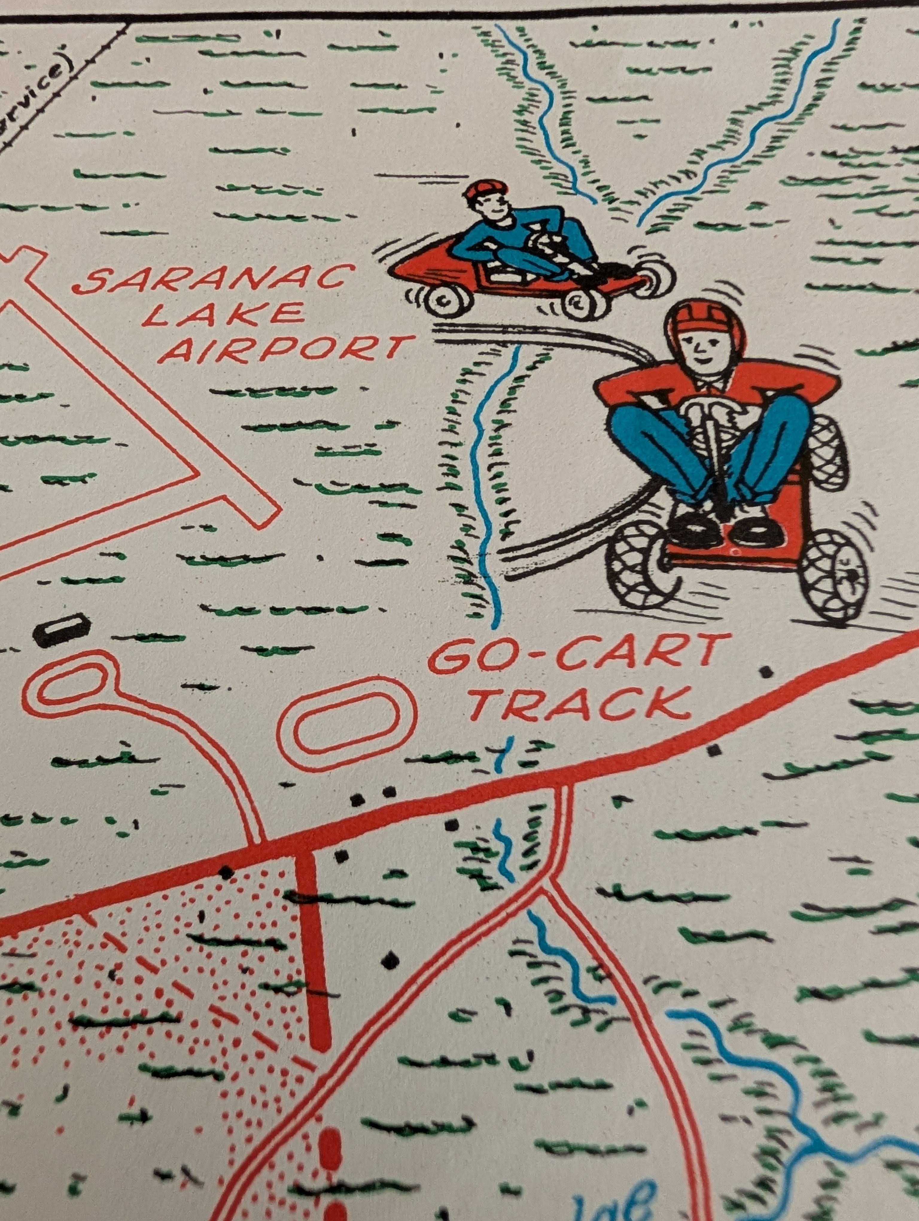
My mother recently handed me an old folded map that was, at one point, tucked away in my grandfather’s desk—a vintage, hand-illustrated tourist map of Saranac Lake.
Because I’m a compulsive archiver and can’t help myself, I set out to digitize it before it faded away in a drawer. But as soon as I started scanning, I stopped looking at the topography and had a thought.
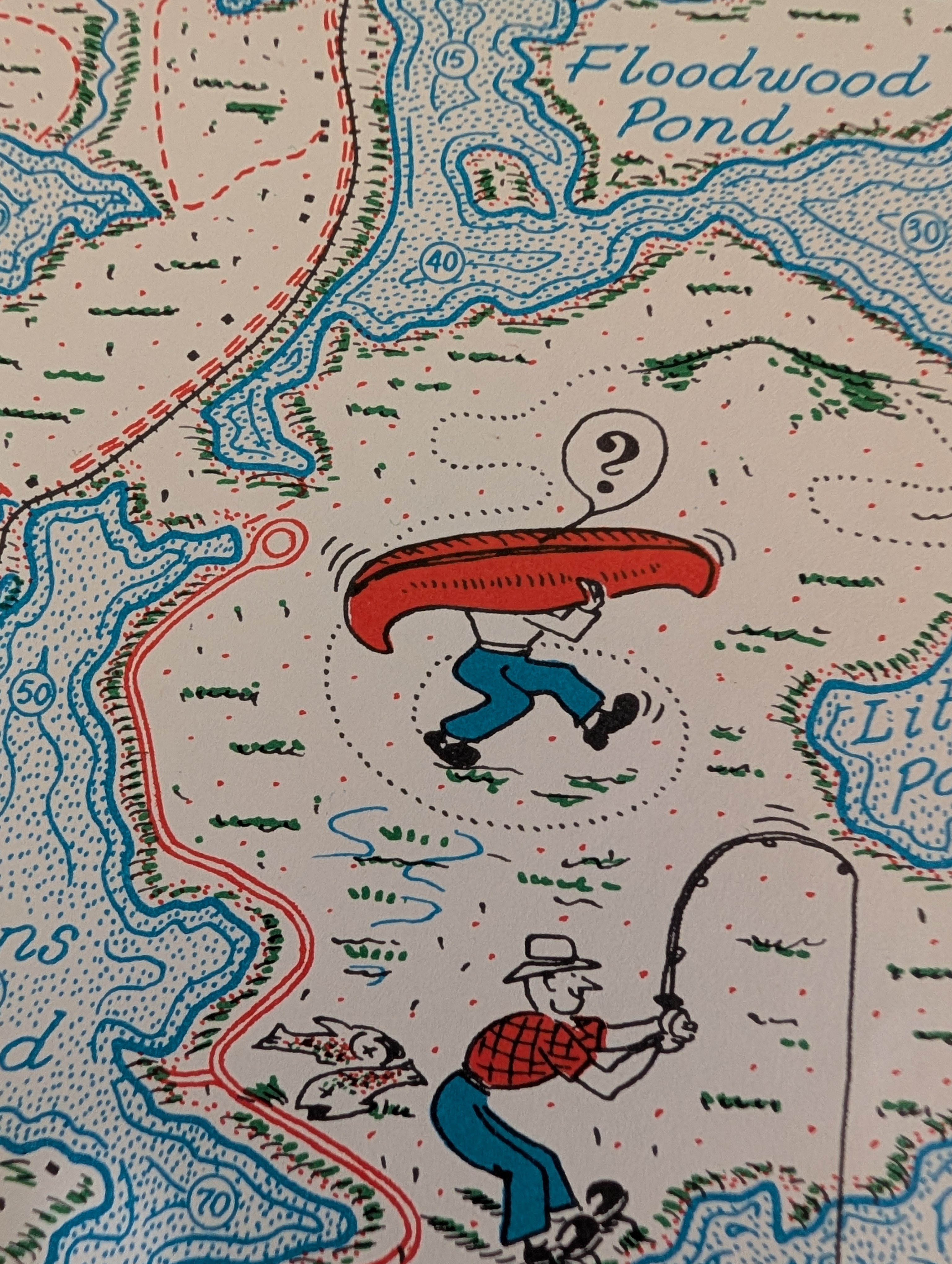
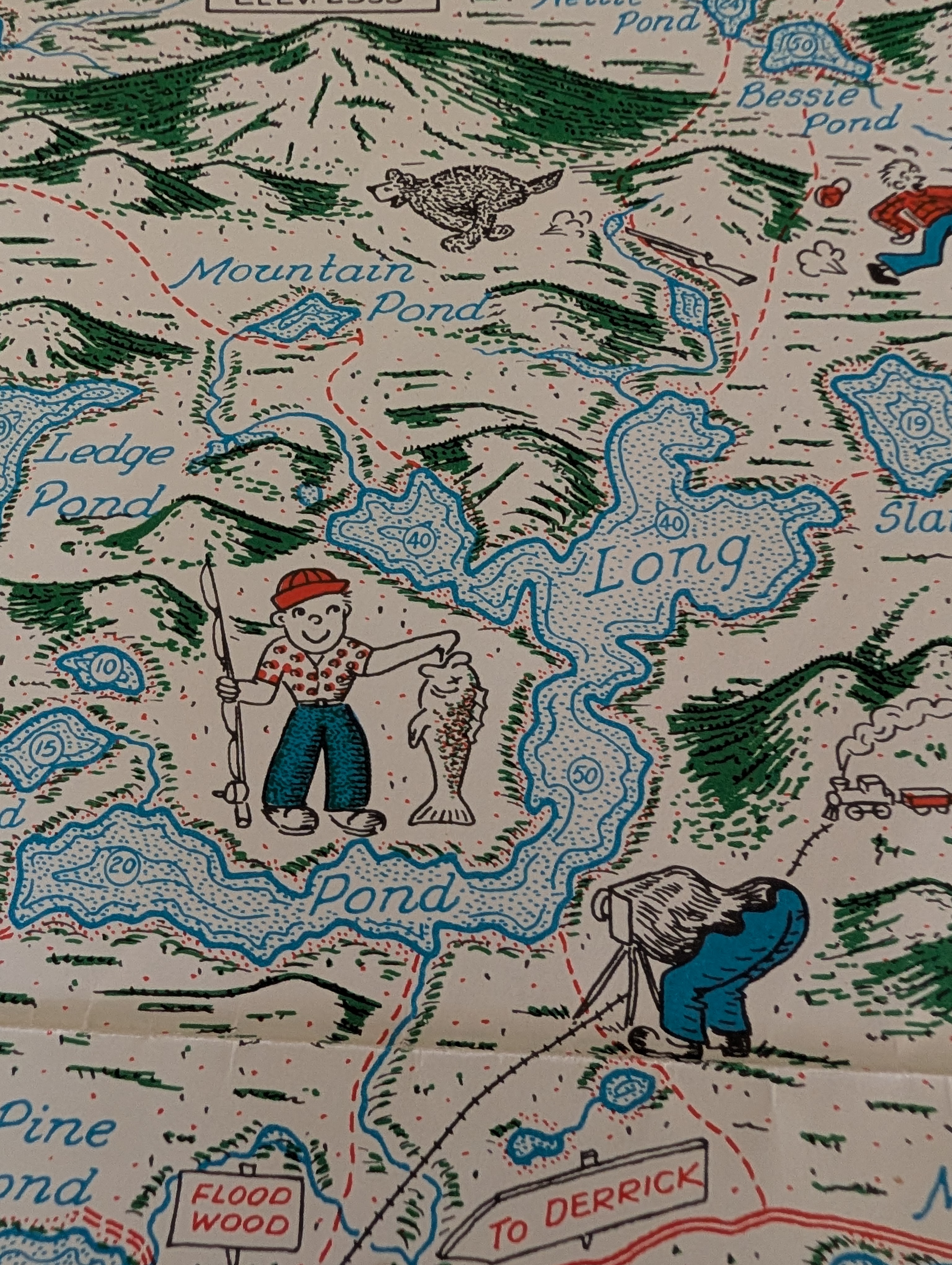
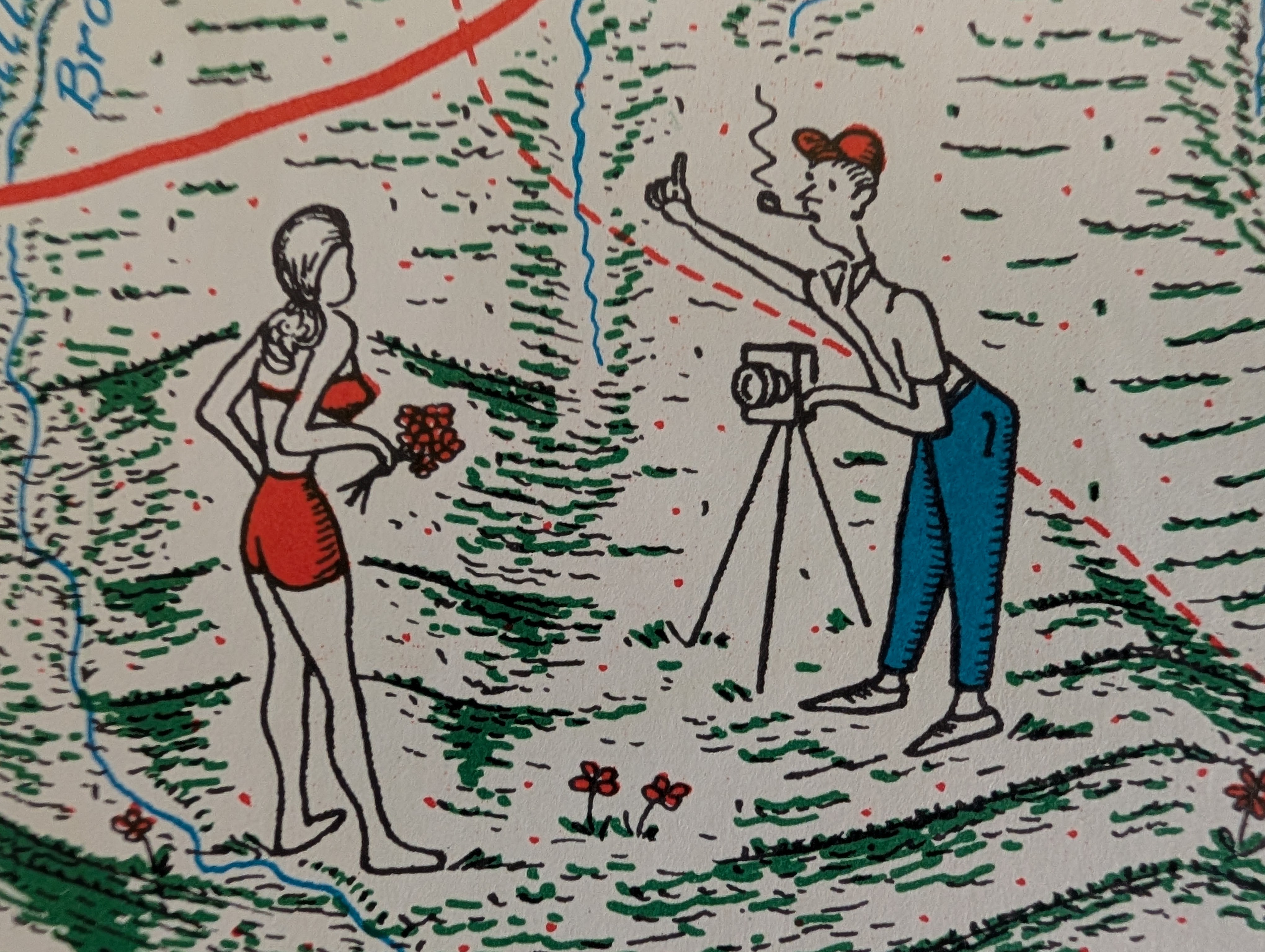
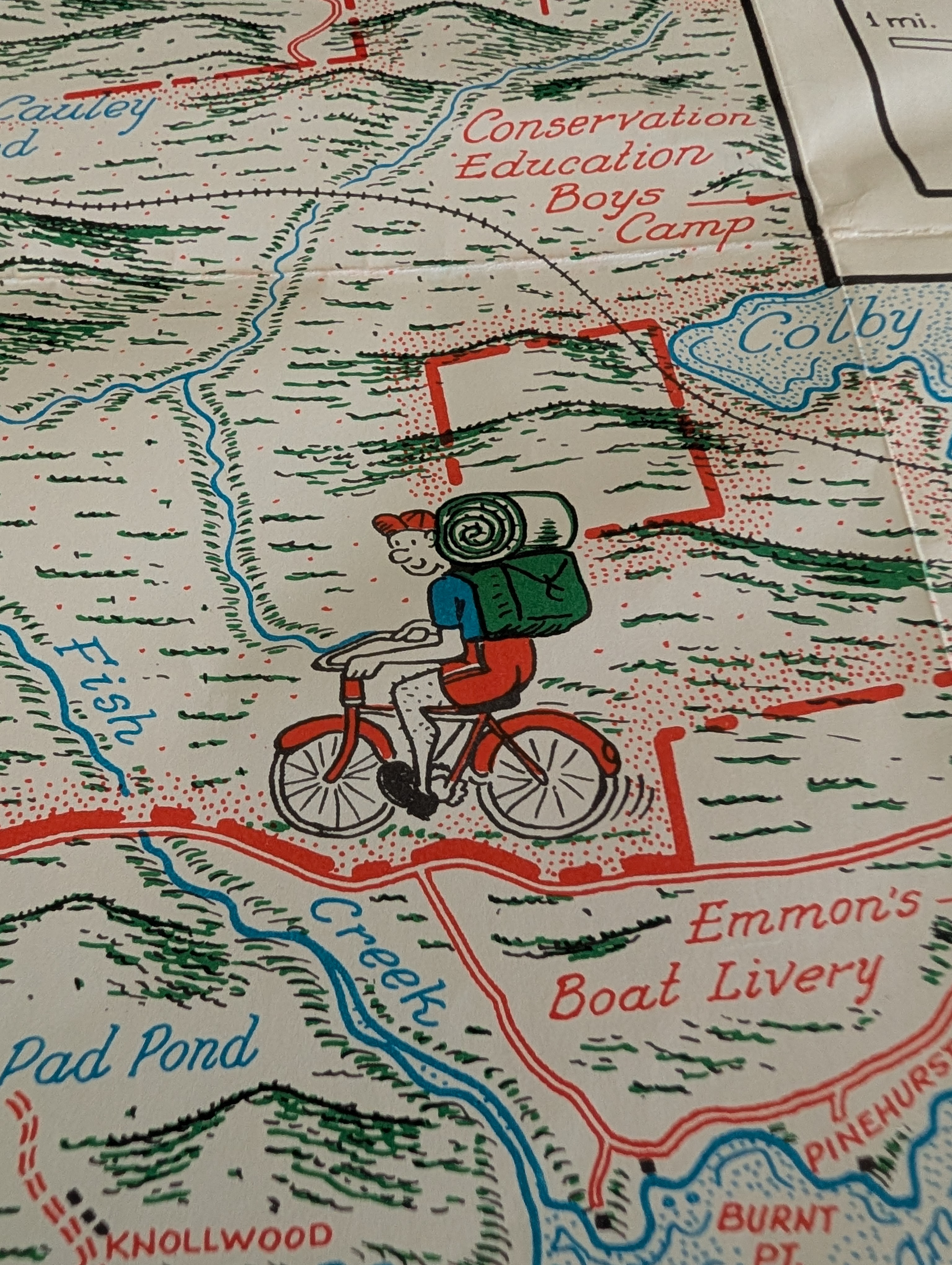
Before GPS turned maps into sterile blue dots and turn-by-turn voices, cartography was allowed to have a sense of humor. Mid-century illustrators weren’t obsessing over millimeter-perfect precision. They focused on capturing what a place felt like, packing the woods and shores with tiny micro-dramas of people actually enjoying the Adirondacks.
Modern maps get you where you’re going, but they leave nothing to the imagination. They trade a little bit of utility for a lot of soul.









Comments are closed.